Individual project for CSE190a at UCSD Winter Quarter 2008. The project is based upon the design and requirements specified by the UCSD AUVSI team that is entering the AUVSI UAS competition for UAV reconnaissance.

Monday, March 10, 2008

Location

I have also over the weekend tried to implement a location based tool that allows me to visualise where the image targets found think that they actually are. I simply took the best matching window and plotted a red square around it to ensure that the chosen location can be visualised. also the Co-ordinates of this location have been taken from the center of the chosen window and printed to the output file.

To get the distance from the center we take arc tan of the field of view times the altitude to get the distance the whole image covers...then on a pixel distance we can decide how far from the center which will be the gps location of the plane (approx).

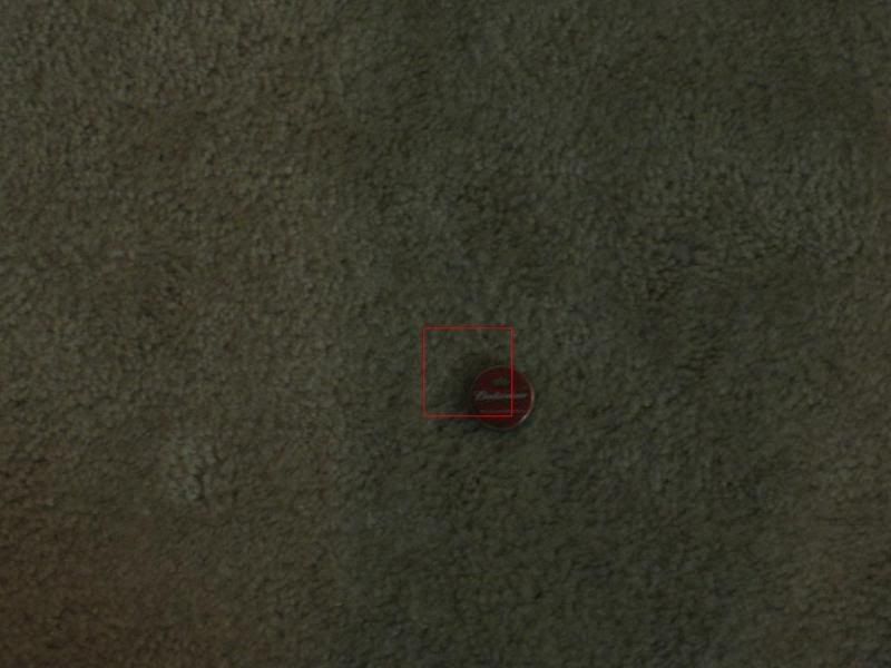
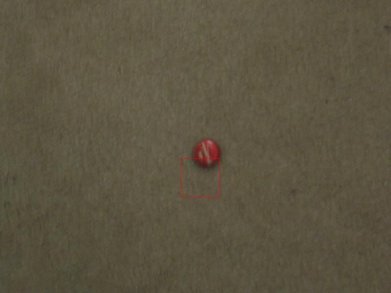
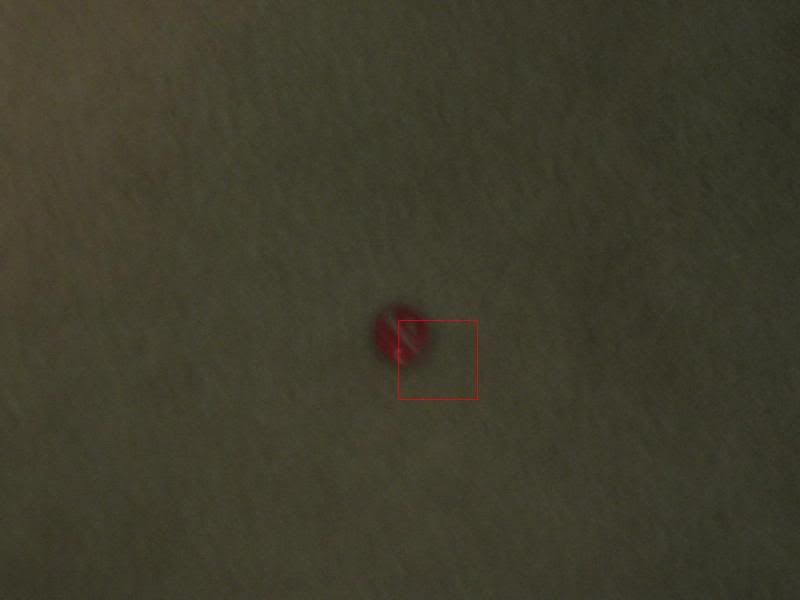
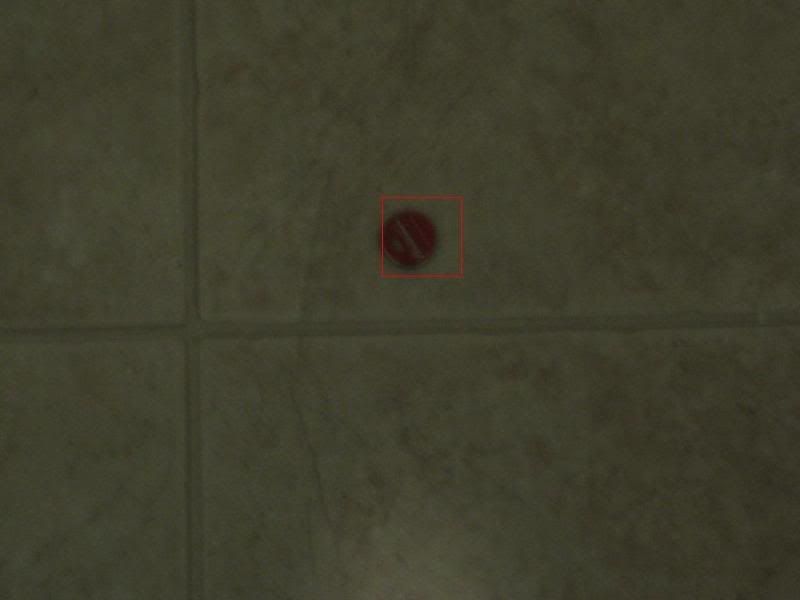
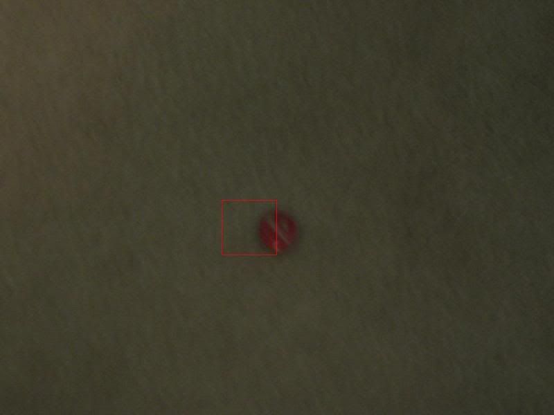
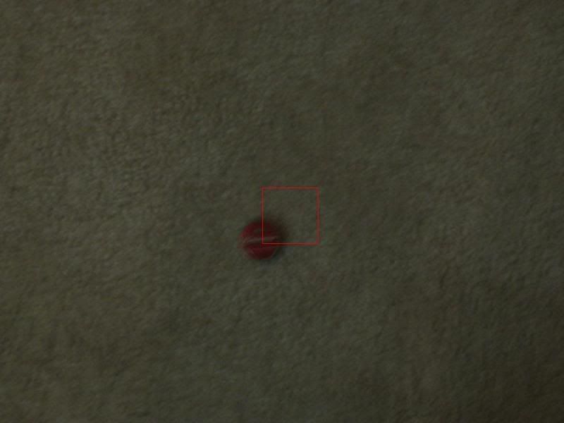
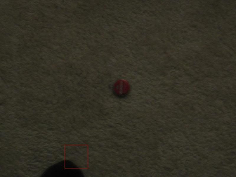
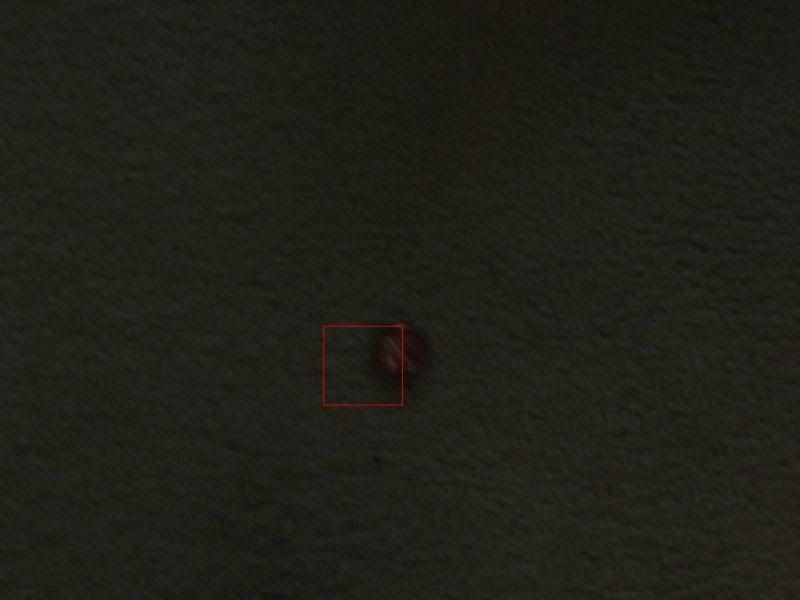
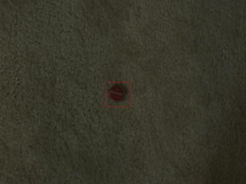
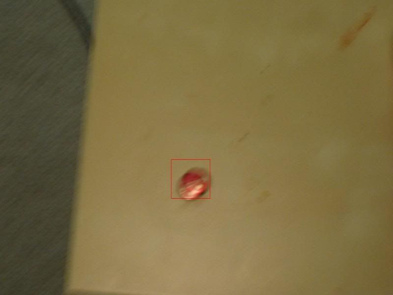
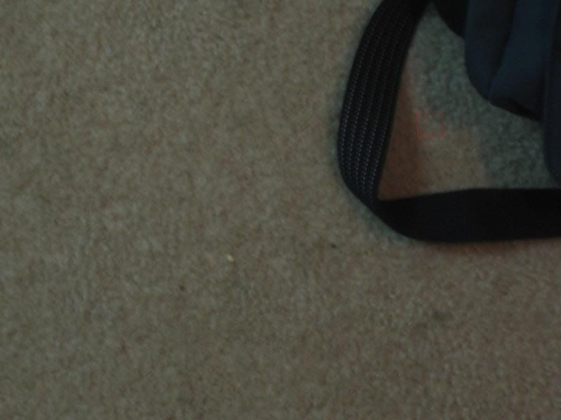
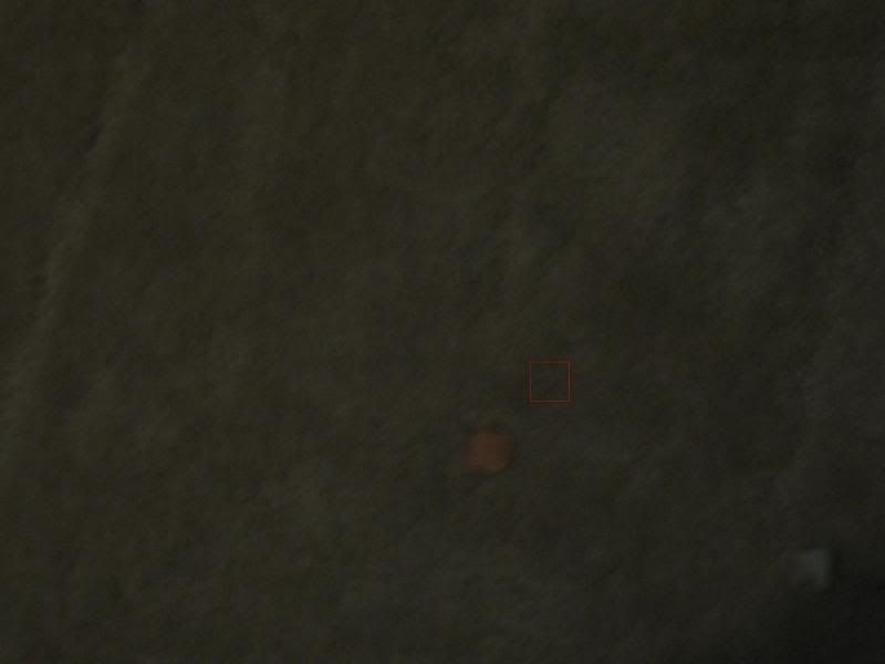
Image location boxes can be viewed below:

No comments: